Australia Wide aerial Service
Drone Inspection Services
Drone Inspections & Drone Surveying Services
Green Sky Group is a CASA Certified And Fully Insured Drone Operator.
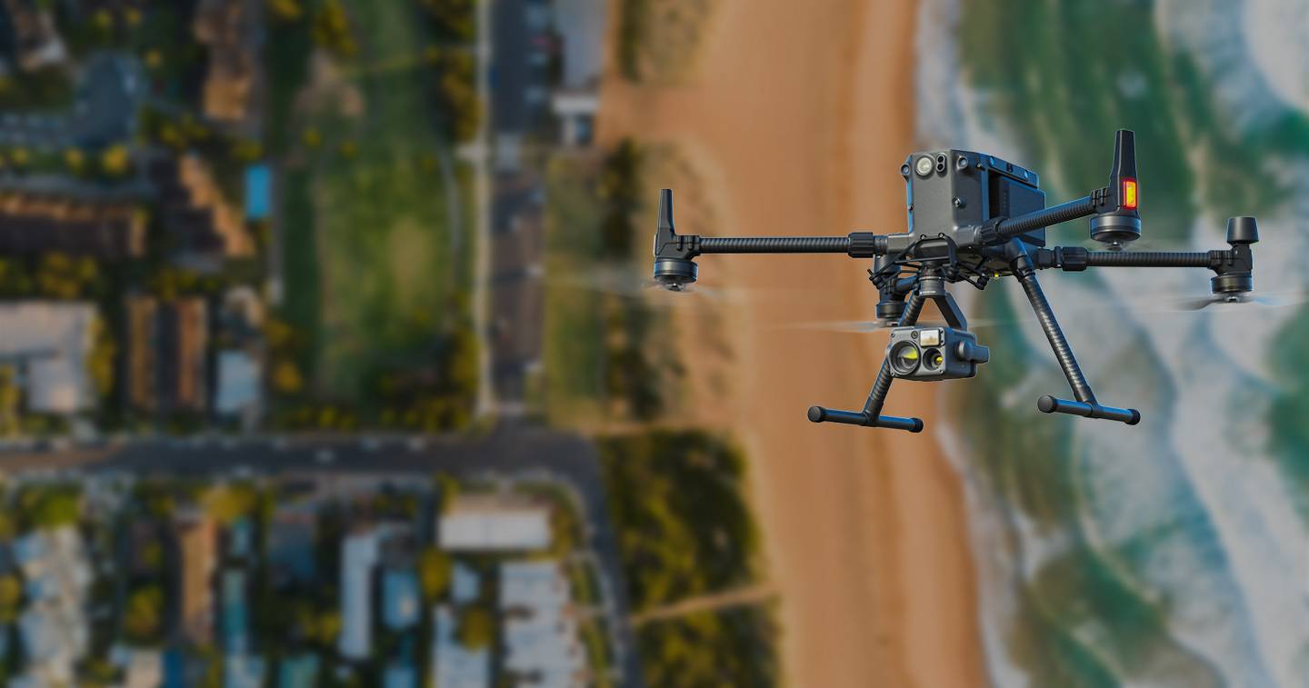
Our team consists of experts using all DRONE technology for asset inspections, aerial mapping, 3D modeling and reporting. Our aerial services operate in all states and territories throughout Australia. Our mission is to provide our clients with safe, efficient and cost-effective aerial solutions that meet their needs.
Aerial Land Surveying, Stockpile Measurements, Contours, Digital Elevation Models, Digital Terrain Models, 3D Modelling, LiDAR, Photogrammetry, RTK, Ground Control Points
Roof & Façade Inspections, Thermal Solar PV Inspections, Thermal Water Leak Detection, Dilapidation Inspections, Insurance Inspections, Pre & Post Storm Damage Inspections
Aerial Videography, Aerial Photography, Real Estate, 3D Matterport Virtual Tours, 360 Sky Tours, Videography, Professional Photography, Timelapse, Floorplans
We offer comprehensive Drone Surveying, Drone inspection & Marketing services, delivered by CASA Certified Professionals.
We are fully committed to helping Australian businesses and organisations find the right drone technology for their specific needs. We use the latest drone technology across a range of services covering everything you need from up high, down low, inside and out. Even underwater.
Our mission is to provide our clients with safe, efficient and cost effective aerial solutions that meet their needs.


![]() “Quick to respond and super helpful. Results speak for themselves. Thank you Green Sky Photography for such a great effort, especially with the timing demand we put on you.”
“Quick to respond and super helpful. Results speak for themselves. Thank you Green Sky Photography for such a great effort, especially with the timing demand we put on you.”
KEVIN S. | MURGON QLD
![]() “Alli and the team at Green Sky Photography went over and beyond for us. Their professionalism is second to none, that is to say we would highly recommend their services.”
“Alli and the team at Green Sky Photography went over and beyond for us. Their professionalism is second to none, that is to say we would highly recommend their services.”
MIKE C. | MURGON QLD
![]() “Jamie is a great communicator and he did a fantastic job of our drone photos. He totally anticipated our needs and delivered well and above and in a very short turnaround time. Would definitely recommend using his services..”
“Jamie is a great communicator and he did a fantastic job of our drone photos. He totally anticipated our needs and delivered well and above and in a very short turnaround time. Would definitely recommend using his services..”
HEATHER H. | ENOGGERA QLD
![]() “It has been an easy and amazing experience to work with Jamie. He was really responsive and professional. The photos are great and I highly recommend Green Sky Photography Drone Services!.”
“It has been an easy and amazing experience to work with Jamie. He was really responsive and professional. The photos are great and I highly recommend Green Sky Photography Drone Services!.”
JP M.
![]() “Jamie was a massive help when I needed to rent a drone ASAP, and his advice and guidance throughout the process came at no extra cost, all of which was extremely helpful and useful for further projects.”
“Jamie was a massive help when I needed to rent a drone ASAP, and his advice and guidance throughout the process came at no extra cost, all of which was extremely helpful and useful for further projects.”
RICHARD M
![]() “The team from Green Sky Photography were fantastic to deal with. We are a ground-penetrating radar surveying company, and we required a drone on extremely short notice to survey a job in Coober Pedy. Jamie was extremely accommodating.”
“The team from Green Sky Photography were fantastic to deal with. We are a ground-penetrating radar surveying company, and we required a drone on extremely short notice to survey a job in Coober Pedy. Jamie was extremely accommodating.”
AIDEN W
![]() “Highly recommend Green Sky Photography Drone services. The company has a reliable and well-communicated professional drone team that we always trust in their skills and professionalism. Their prices are very competitive and the outcome is very detailed and of high quality.”
“Highly recommend Green Sky Photography Drone services. The company has a reliable and well-communicated professional drone team that we always trust in their skills and professionalism. Their prices are very competitive and the outcome is very detailed and of high quality.”
NASER H
![]() “Alli & Jamie performed some beautiful and steady low flying over my property. Clear photography and footage. Lovely couple, friendly and happy to answer all my questions. Thanks guys 👌😊.”
“Alli & Jamie performed some beautiful and steady low flying over my property. Clear photography and footage. Lovely couple, friendly and happy to answer all my questions. Thanks guys 👌😊.”
KATHLEEN M
![]() “Green Sky exceeded my expectations and I would not hesitate to recommend their services. Jamie communicated well and I am pleased with the range of photos taken.”
“Green Sky exceeded my expectations and I would not hesitate to recommend their services. Jamie communicated well and I am pleased with the range of photos taken.”
BEN S
![]() “Alli and the team at Green Sky Photography went over and beyond for us. Their professionalism is second to none, that is to say we would highly recommend their services..”
“Alli and the team at Green Sky Photography went over and beyond for us. Their professionalism is second to none, that is to say we would highly recommend their services..”
MIKE C

© 2017-2024 Green Sky Group Pty Ltd.
CASA ReOC 6846
All Rights Reserved
